Bible Places, or the Topography of the Holy Land by Rev. H.B. Tristram
![Henry Baker Tristram [1822-1906], Bible Places](https://biblicalarchaeology.org.uk/blog/wp-content/uploads/2023/06/bible-places_tristram.jpg)
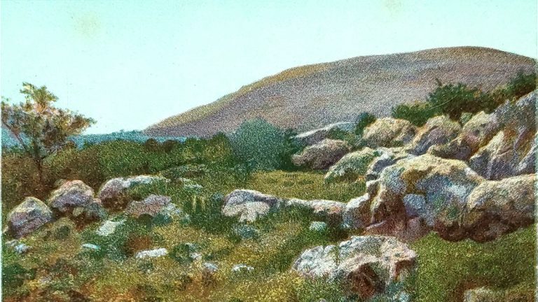
Today’s free book is a fine example of the genre of Ninetenth Century tours of the Holy Land, almost invariable conducted by Anglican Clergy. I particularly like H.B. Tristram’s illustrations and have used “The Tower of Hippicus” (see p.144) as the logo for this website. This title is in the public domain.
Henry Baker Tristram [1822-1906], Bible Places; or, The Topography of the Holy Land. A Succinct Account of all the Places, Rivers and Mountains of the Land of Israel, Mentioned in the Bible, So Far as They Have Been Identified, 4th edn. London: SPCK, 1884. Hbk. pp.382. [Click here to visit the download page for this title]
Table of Contents
- Note to the Fourth Edition
- Note to the Eleventh Thousand
- Preface to the First Edition
- Preface to the Third Edition
- The Wilnderness, and the negeb or South Country
- The Shephelah, or Low Country, Generally Spoken of as Philistia
- The Hill Country of Judah
- The Wildnerness of Judah and the Dead Sea Valley
- The Hill Country of Benjamin
- Jerusalem
- Ephraim
- Samaria, Manasseh, and Carmel
- Issachar; and Esdraelon, or the Plain of Jezreel
- Upper Galilee–Zebulun
- Upper Galilee–Naphtali–Gennesareth to Hermon
- Phoenecia–Tribe of Asher
- Bashan
- Gilead
- Reuben and Moab
- Index
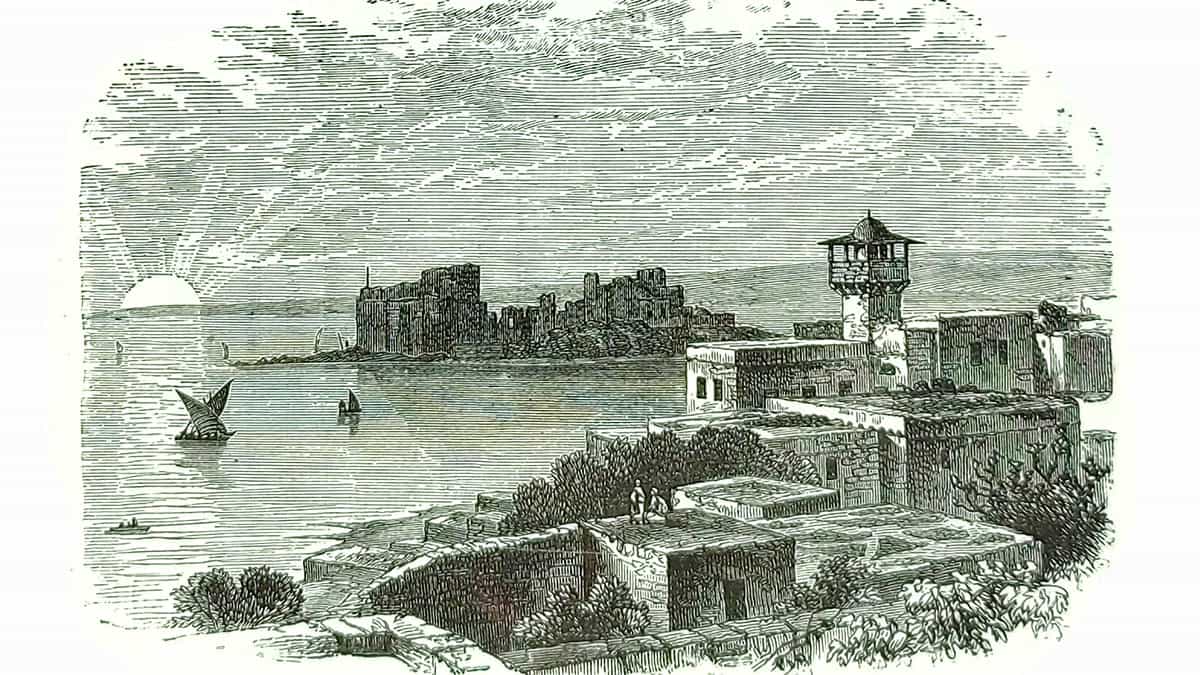
Main Image: Sidon, and the Ancient Castle (p.311)